
An educational curricula was pilot tested in 2020 by Extension professionals in Nebraska and Minnesota. It utilizes a table-top sized map game board, six pre-planned scenarios, and interactive planning by small groups to select preferred manure application sites. The original curricula addresses:
-
- How far will I need to travel to manage manure nitrogen? Phosphorus?
- Which fields benefit the most agronomically from manure?
- How far can I afford to travel?
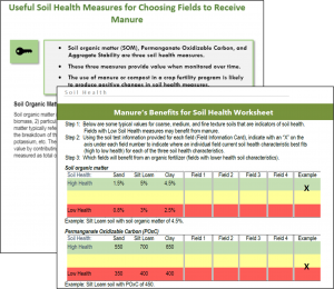
- Which fields benefit most from manure’s soil health benefits?
- What water quality risks are connected with individual fields?
- How can I use a weather forecast to minimize neighbor’s odor risks?
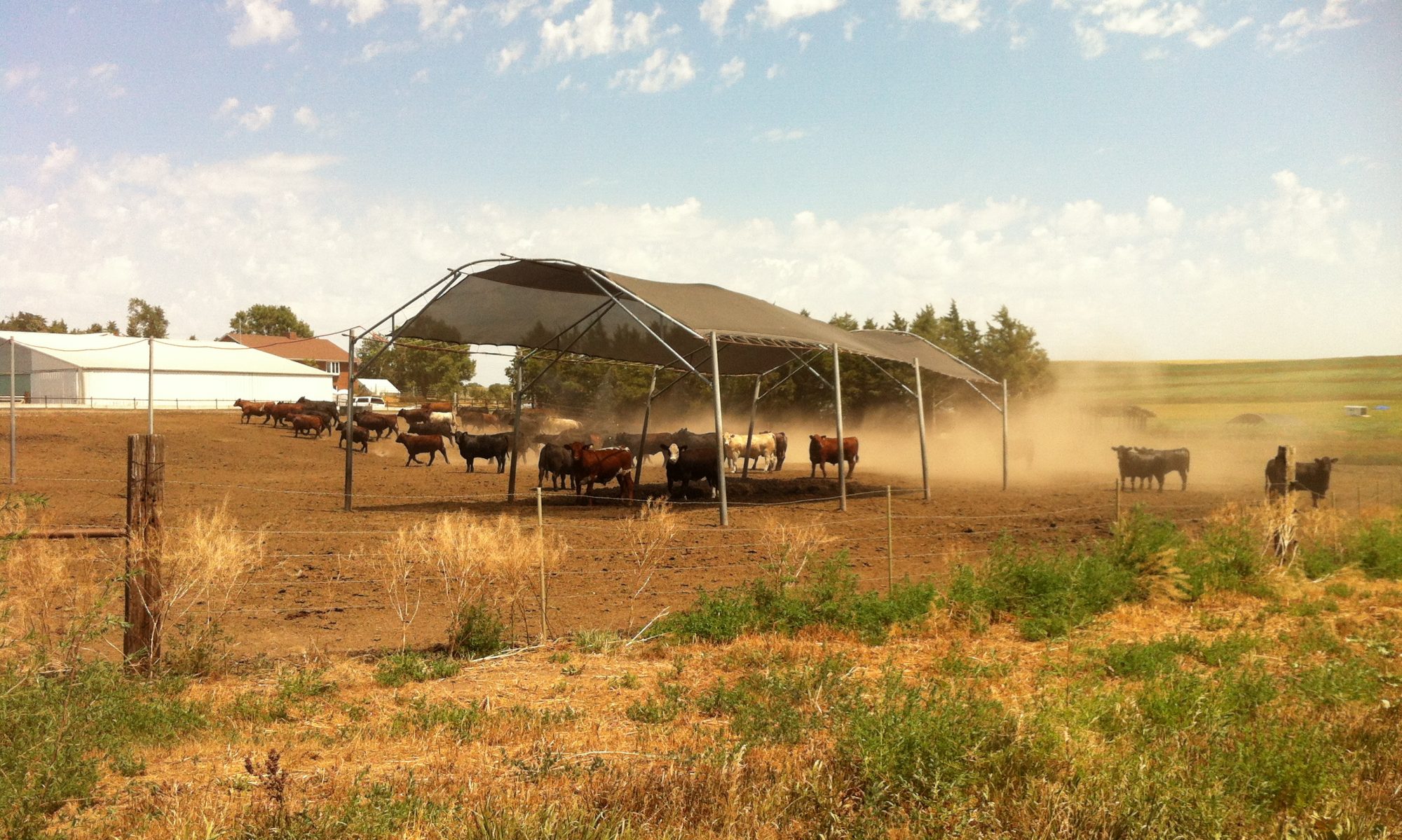
These activities often lead to lots of peer-to-peer teaching. For example, we have witnessed discussions about minimizing compaction and planning to minimize impacts on community infrastructure and neighbors. As participants work through these discussions, they add visual reminders (i.e. happy and sad face emojis) to the map to weigh the benefits and concerns connected to individual fields.
Over the course of the last several years, the curricula has been expanded. There are now additional activities on the following topics:
-
- Crediting nitrogen from all sources to choose a nitrogen rate
- Determining value of commercial fertilizer nutrients
- Determining manure availability
- Observing setbacks and stockpiling manure
- Reading soil and manure samples
- Soil health practices for early career farmers and educators (developed by the Soil Health Nexus)
Resources are Available for Adapting to Your State
The curricula includes:
-
- Scenarios
- worksheets for each of the activities, and
- a facilitator guide to help set up the scenario.
You may download electronic copies of all resources, adapt to your state, and begin sharing a highly interactive and peer-to-peer educational experience.
Downloadable Resources
Thank you for your interest in the curricula. Please fill out the following form to access the files:
Contacts
Leslie Johnson, Amy Schmidt, Christina Curell and Rick Koelsch (retired)