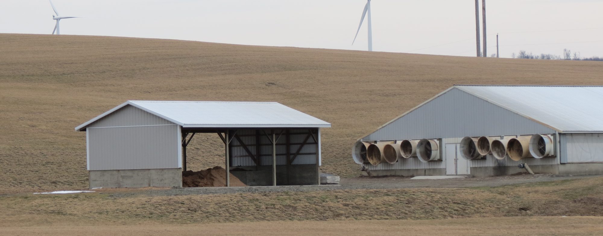
Aerial photos of farms and farming practices are becoming easier to find and collect. But drones and satellites can provide more than pretty pictures. In this webinar, the three speakers will share applications of drones and remote sensing for air and water quality measures around livestock farms. Dirk Charlson will share his simple approach to collecting drone imagery, and the range of opportunities for analyzing images and mapping practices. Nesli Akdeniz has collected air quality measures in pasture systems with drones. Finally, Becca Muenich has used remote sensing to examine land application practices. While it may seem like these applications are flying by faster than we can see, the speakers will help ground us with their experience. This presentation was originally broadcast on December 12, 2025.
If you have difficulties, please see our webinar troubleshooting page. If you need to download a copy of a segment, submit a request. The embedded videos can be viewed full screen by clicking on the icon in the lower right corner.
Flying air analyzer to measure air emissions from livestock pastures
Nesli Akdeniz, University of Wisconsin (16:06)
Presentation Slides
Mapping your world using drones
Dirk Charlson, University of Nebraska (14:39)
Presentation Slides
Remotely quantifying livestock management at large scales: Applications for nutrient recovery and management
Rebecca Muenich, University of Arkansas (19:27)
Presentation Slides
Questions from the Audience
All presenters (7:30)
More Information
Continuing Education Units
Certified Crop Advisers (CCA, CPAg, or CPSS)
View the archive and take the quiz (not available yet). Visit the CCA continuing education page for additional CEU opportunities.
American Registry of Professional Animal Scientists (ARPAS)
View the archive and report your attendance to ARPAS via their website. Visit the ARPAS continuing education page for additional CEU opportunities.